Highlights
LDist is now available
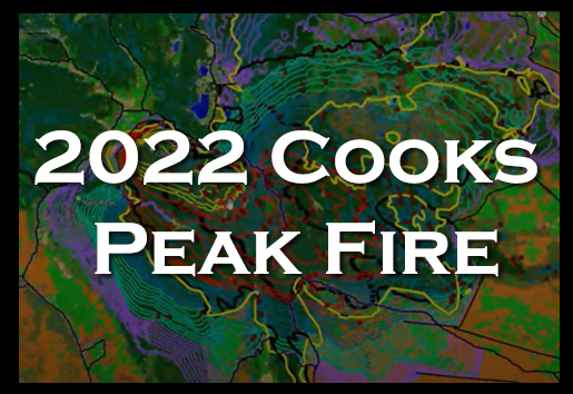
Complete LF 2022 Update now available
******************
LANDFIRE Technical Documentation: methods used to create LF data
******************
![]()
Join the LF Office Hour Discussions
******************
LF Help Desk
 Building LF Awareness - One Workshop at a Time
 LANDFIRE Southeastern Drought Adjusted Surface Fuel Product
The Spatially Adaptable Filter for Error Reduction (SAFER) Process: Remote Sensing-Based LANDFIRE Disturbance Mapping Updates
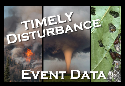
LANDFIRE Responds and Completes the Picture: Improving Disturbance and Downstream LANDFIRE Products
LF Dictionary
LF Definitions, Quality and Standards Report


