

 Latest News
The LANDFIRE (LF) 2022 Update represents another step in moving towards an annual update.
LF 2022 includes adjustments to vegetation and fuels in disturbed areas for disturbances recorded in 2021 and 2022. LF 2022 disturbance layers contain comprehensive polygon treatment data (disturbance events) obtained from national and local sources and fire program data including:
Disturbances are also identified with LF's remote sensing of landscape change (RSLC), which identifies spectral change in vegetation using automated algorithms and image analyst review of the entire country.
Both vegetation cover and height, as well as fuels, will be 2023 capable in disturbed areas. This means that in mapped disturbances, vegetation and fuels represent current year conditions. Transition rulesets for vegetation account for disturbances from 2017 to 2022 since they were designed to use LF 2016 Remap vegetation data as inputs. Fuel updates utilize 2013–2022 disturbances because fuels transition rules encompass ten years of disturbance and can use pre-disturbance fuel inputs.
Important changes featured in the LF 2022 update include:

LF 2022 Update Products and Descriptions
| Theme | Product Name | Abbreviation |
|---|---|---|
| Disturbance | 2021 Annual | Dist2021 |
| 2022 Annual | Dist2022 | |
| Historical Disturbance | HDist | |
| Fire Regime | Fire Regime Groups | FRG |
| Mean Fire Return Interval | MFRI | |
| Percent Fire Severity | PFS (PLS, PMS, PRS) | |
| Succession Classes | SClass | |
| Vegetation Condition Class | VCC | |
| Vegetation Departure Index | VDep | |
| Fuel (2023 Capable) |
13 Anderson Fire Behavior Fuel Models | FBFM13 |
| 40 Scott and Burgan Fire Behavior Fuel Models | FBFM40 | |
| Forest Canopy Bulk Density | CBD | |
| Forest Canopy Base Height | CBH | |
| Forest Canopy Cover | CC | |
| Forest Canopy Height | CH | |
| Fuel Disturbance | FDist | |
| Canadian Forest Fire Danger Rating System | CFFDRS | |
| Fuel Vegetation Cover | FVC | |
| Fuel Vegetation Height | FVH | |
| Fuel Vegetation Type | FVT | |
| Fuel Rulesets Database | FRDB | |
| LFTFC Toolbar Database | LFTFC DB | |
| Landscape File | LCP | |
| Reference | Public Events Geodatabase | EventsDB |
| Public Exotics Geodatabase | ExoticsDB | |
| Public Model Ready Events Geodatabase | ModelReadyDB | |
| Vegetation (2023 Capable) |
Biophysical Settings (including Fire Regime attributes) |
BPS |
| Existing Vegetation Type | EVT | |
| Existing Vegetation Cover | EVC | |
| Existing Vegetation Height | EVH |
LF 2022 Update Schedule
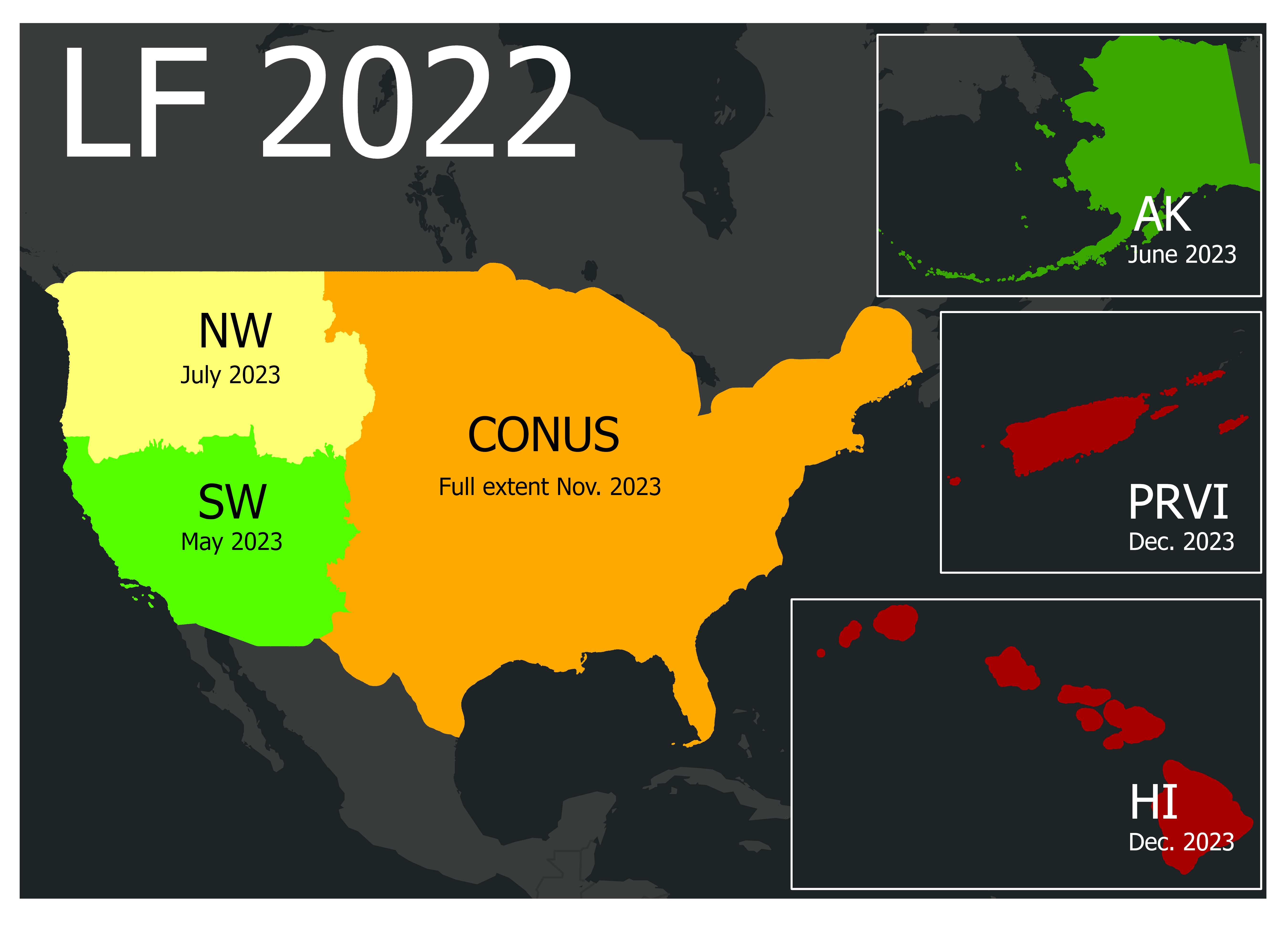
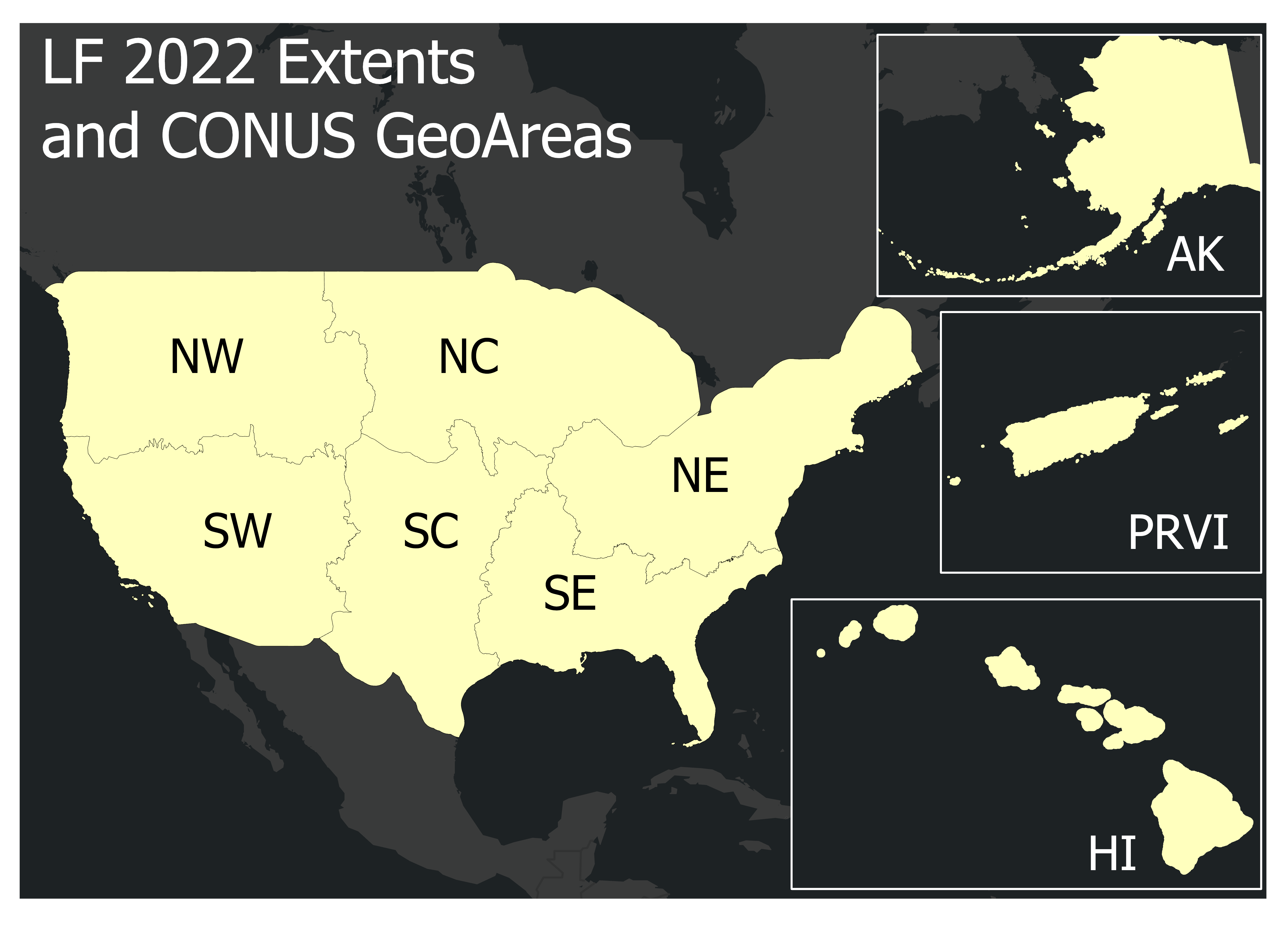
LF 2022 is being released by Conterminous United States (CONUS) GeoArea beginning in May 2023 with the SW. Followed by Alaska (AK), remaining GeoAreas, Hawaii (HI), and select Insular Areas (IA), Puerto Rico and the US Virgin Islands (PRVI), later in the year.
|

|
|||||||||||||||