

Product Description
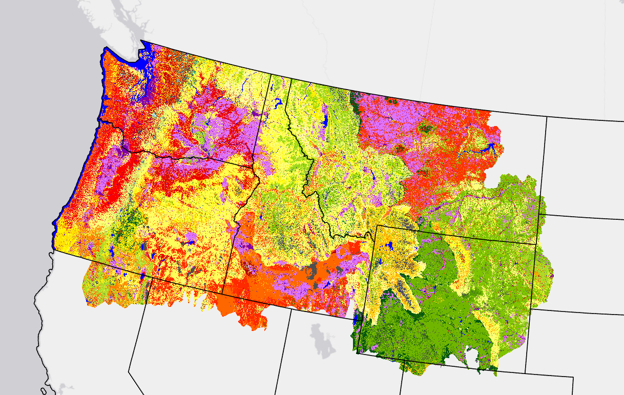
Vegetation Departure (VDep) indicates how different current vegetation on a landscape is from estimated past modeled conditions. VDep is based on changes to vegetation composition, structural stage, and canopy closure using methods originally described in the Interagency Fire Regime Condition Class Guidebook, but is not identical to those methods and should not be considered as a replacement data set. LANDFIRE (LF) VDep is based only on departure of current vegetation conditions from reference vegetation conditions, whereas the Guidebook approach includes departure of current fire regimes from those of the reference period.
VDep, a landscape metric, is scale dependent. Every pixel in a unique biophysical settings (BpS) in a summary unit has the same VDep value. These large landscape values may not represent smaller areas within a summary unit.
The VDep metric ranges from 0 - 100 and is based on 4 factors. These inputs are held constant within a single version of LF, but can be different across LF versions, which directly impacts VDep comparability across versions. VDep can be compared across versions but caution is advised.
VDep Factors
- LF Mapped Current Conditions (SClass)
- Estimated Reference Conditions
- Included Types
- Landscape Summary Unit
FAQs
LANDFIRE (LF) never delivered "full" FRCC product, even when the product carried that name, so it was renamed to reduce confusion.
FRCC is composed of two elements: Vegetation Departure and Fire Regime Departure. LF produced and delivered the first component of FRCC (Vegetation Departure) because LF had no consistent way to estimate Fire Regime Departure over the entire geography. Therefore, the product was renamed VCC since it is a more appropriate and descriptive name. VCC is just the current VDep product sliced into categories.
| LF Version | LF Mapped Current Conditions | Estimated Reference Conditions | Included Types | Landscape Summary Unit |
|---|---|---|---|---|
| LF National (1.0.0) | LF National Succession Class | LANDSUM output, parameterized by BpS models | Natural Vegetation Only | Map Zones and ECOMAP Subsections |
| LF 2001 (1.0.5) | LF 2001 Succession Class | BpS Group Models | Natural Vegetation, plus Burnable Ag and Burnable Urban | HUC12 within Map Zones |
| LF 2008 (1.1.0) | LF 2008 Succession Class | Bps Group Models | Natural Vegetation, plus Burnable Ag and Burnable Urban | HUC12 within Map Zones |
| LF 2012 (1.3.0) | LF 2012 Succession Class | BpS Models | Natural Vegetation Only | Unique BpS Model Reference Conditions |
| LF 2014 (1.4.0) | LF 2014 Succession Class | BpS Models | Natural Vegetation Only | Unique BpS Model Reference Conditions |
| LF 2016 (2.0.0) | LF 2016 Succession Class | Revised BpS Models | Natural Vegetation Only | Unique BpS Model Reference Conditions |
| LF 2020 (2.2.0) | LF 2020 Succession Class | Revised BpS Models from Remap | Natural Vegetation Only | Unique BpS Model Reference Conditions |
| LF 2022 (2.3.0) | LF 2022 Succession Class | Revised BpS Models from Remap | Natural Vegetation Only | Unique BpS Model Reference Conditions |
| LF 2023 (2.4.0) | LF 2023 Succession Class | Revised BpS Models from Remap for HI and CONUS, models from LF 2023 BPS for AK | Natural Vegetation Only | Unique BpS Model Reference Conditions |
Refer to Succession Class (SClass), VDep and VCC metadata in each LF version for more information.
Note: VDep is not always created for all extents and/or all versions of LF. See the schedule page to learn more about each version.
Vegetation Departure Resources
LF Definitions, Quality, and Standards - provides information about contributors, metadata and data standards, data creation, and data testing. This document also provides details about our general data release process.
LF Dictionary - a “one-stop shop” general resource that provides information about products, Attribute Data Dictionaries (ADDs), data and metadata, and terms.
LF Version Comparison Table - view the version history for each individual product.
LF Naming Conventions - understanding the version number