

Product Description
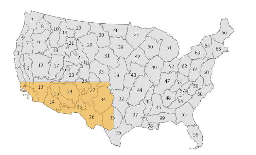
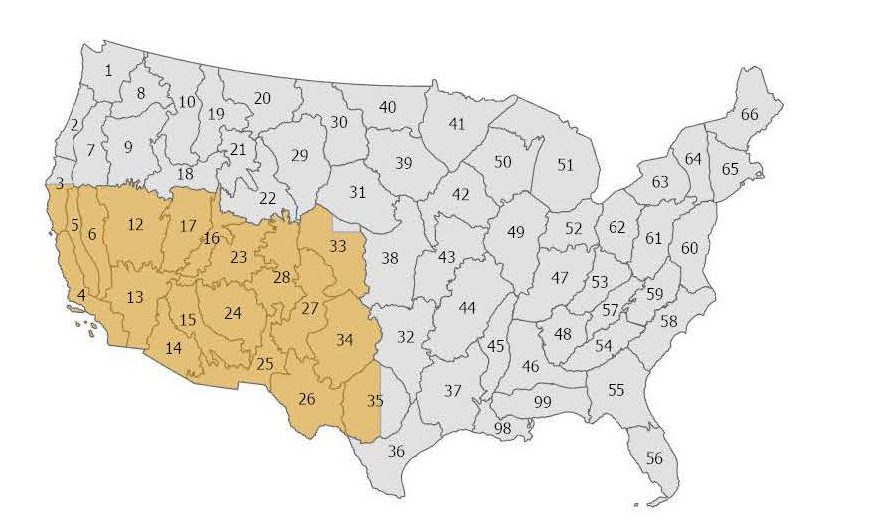
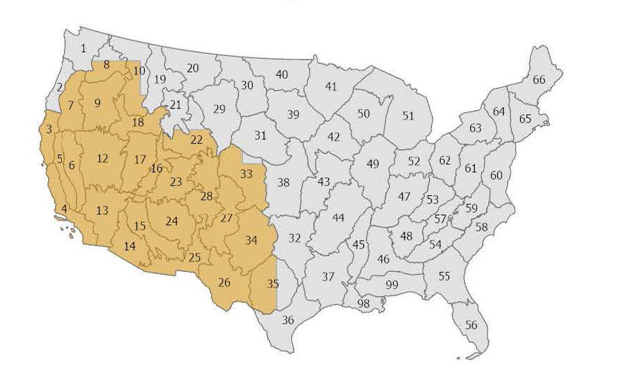
 Starting in 2017, Seasonal Fuels, formerly called MoD-FIS, has provided adjusted fuel model (Scott and Burgan 2005) map data in the Great Basin and Southwest regions. Currently, fuel model adjustments are based on Landsat Normalized Difference Vegetation Index (NDVI) values acquired from Harmonized Landsat and Sentinel-2 (HLS) imagery. Because fine fuels, like grasses and shrubs, change rapidly based on seasonal moisture, these updates ensure that fire behavior models reflect more recent landscape conditions rather than outdated static snapshots.
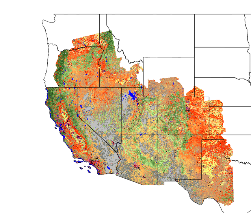
To capture these fluctuations, LANDFIRE produces composited, cloud-free maximum NDVI mosaics (using the 95th percentile) from Harmonized Landsat Sentinel-2 (HLS) imagery across western states four times each fire season. NDVI measures the density of "greenness" on the landscape. High NDVI values indicate lush, live vegetation, while lower values signify "browning" (senescence), dead material, or a lack of vegetation. Every pixel across the region is assigned a specific vegetation "greenness value" and by correlating these satellite observations with existing LANDFIRE herbaceous cover data, we can better quantify the status and abundance of fine fuels in near real-time. Ultimately, these data allow fire managers to adjust/utilize fuel models better suited to current ground conditions.
Products are released every year based on the following fire season
| Overview Area | Season | Region | Date Range |
|---|---|---|---|
 | Early Spring | Southwest | Feb 1 - April 20 |
 | Spring | Southwest Northern Great Basin | Feb 1 - May 20 |
 | Summer | Southwest Northern Great Basin Northern | Feb 1 - Jun 20 |
| Fall | Southwest | Feb 1 - Sep 20 |
Seasonal Fuels Resources
MoD-FIS Comprehensive Plan
GB-SW MoD-FIS White Paper
LANDFIRE Modeling Dynamic Fuels with an Index System Innovations
MoD-FIS Brings Seasonal Fine Fuels Information to Wildland Fire Mangement
Scott and Burgan 2005: Standard Fire Behavior Fuel Models: A Comprehensive Set for Use with Rothermel's Surface Fire Spread Model
 Wildfires that burn across hard-baked desert landscapes, such as in southwestern and Great Basin areas of the United States, are driven by fine fuels such as annual/invasive herbaceous. Capturing the seasonal variations in the production of these fuels is what LF’s Seasonal Fuels is about.
Important to fire managers in preparing for a fire season and addressing wildfires as they're happening, Seasonal Fuels provides vital information in understanding when and where those fuels are present, how abundant they are, and how seasonal variation changes over time affects fire behavior.
Seasonal Fuels products (Existing Vegetation Cover, Existing Vegetation Height, and Fire Behavior Fuel Models) are released three times a year, Spring in early June, Summer in early July, and Fall in early October. You can find the MoD-FIS products on the LF Map Viewer, select "Seasonal."
More information about LF's Seasonal Fuels products can be found in the article MoD-FIS Brings Seasonal Fine Fuels Information to Wildland Fire Management.
Wildfires that burn across hard-baked desert landscapes, such as in southwestern and Great Basin areas of the United States, are driven by fine fuels such as annual/invasive herbaceous. Capturing the seasonal variations in the production of these fuels is what LF’s Seasonal Fuels is about.
Important to fire managers in preparing for a fire season and addressing wildfires as they're happening, Seasonal Fuels provides vital information in understanding when and where those fuels are present, how abundant they are, and how seasonal variation changes over time affects fire behavior.
Seasonal Fuels products (Existing Vegetation Cover, Existing Vegetation Height, and Fire Behavior Fuel Models) are released three times a year, Spring in early June, Summer in early July, and Fall in early October. You can find the MoD-FIS products on the LF Map Viewer, select "Seasonal."
More information about LF's Seasonal Fuels products can be found in the article MoD-FIS Brings Seasonal Fine Fuels Information to Wildland Fire Management.