


 Latest News
This is the first product that expands fuel models beyond "average" conditions. The goal is to capture seasonal fuel model variability at various geographic scales due to regional conditions.
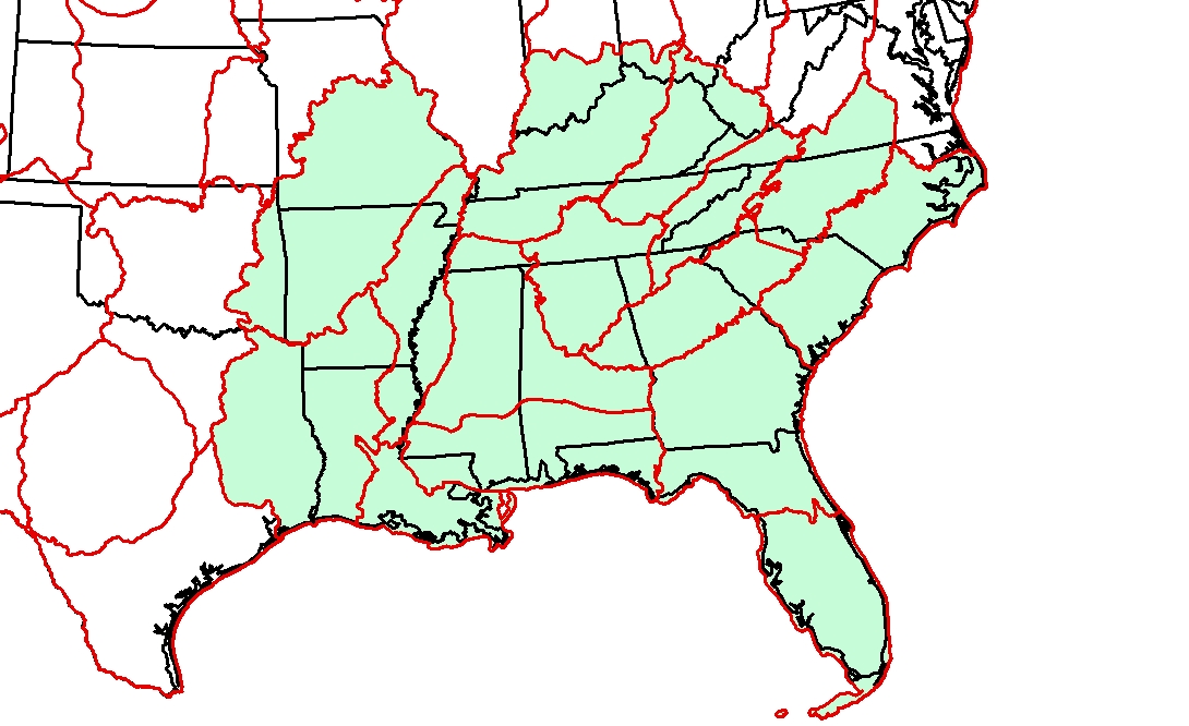
LF produces fire behavior fuel model data representing average conditions. During drought or seasonably dry conditions they underrepresent conditions, particularly in the southeast. LF proposed the Drought Based Fuel Dynamic system (LF_DBFD) to better represent drier conditions with fuel models. The LF_DBFD transitions surface fuel models based on seasonal conditions using fuel loading and fuelbed depths. Thresholds for the fuel model transitions are determined by the Keetch Byram Drought Index (KBDI). Values are divided into four equal increments 0 - 800 (Keetch and Byram 1968). As drought values increase, fuel models transition to a higher loading and deeper fuel bed depth model due to drier conditions.
Learn more about the LF_DBFS system and the Modeling Dynamic Fuels with an Index System (MoD-FIS), which modifies fuel model data in the Western U.S.
LF Product Used: LF Fire Behavior Fuel Model 40 (FBFM40)
References:
Keetch, John J., and Byram, George. 1968. A drought index for forest fire control. Research Paper SE-38. Asheville, NC: U.S. Department of Agriculture, Forest Service, Southeastern Forest Experiment Station. 32 pp.
Last updated: September 27, 2017


