


 Latest News
The LF 2020 Update represents the second step in moving towards an annual update in which the disturbances from the year before are represented in current year products. LANDFIRE (LF) 2019L (Limited) was the first step towards this goal but contained limited disturbance information (events and fire program data only) for the years 2017-2019.
LF 2020 includes adjustments to vegetation and fuels in disturbed areas for disturbances recorded in 2017-2020. LF 2020 disturbance layers contain events, fire program data (Monitoring Trends in Burn Severity (MTBS), Burned Area Reflectance Classification (BARC), Rapid Assessment of Vegetation Condition after Wildfire (RAVG)) and LF's remote sensing of landscape change (RSLC), which identifies spectral change in vegetation using automated algorithms and image analyst review. See the disturbance source information table.
LF 2020 replaces LF 2019L in terms of disturbances accounted for in vegetation and fuels product layers as it includes all disturbances in LF 2019L plus additional disturbances from 2017-2019 identified by LF's RSLC process and an additional year of full disturbance mapping (2020).
Both vegetation cover and height, as well as fuels, will be 2022 capable in disturbed areas. This means that in mapped disturbances, vegetation and fuels are "grown" to current (delivery) year conditions. Transition rulesets for vegetation account for disturbances from 2017-2020 (using LF 2016 Remap vegetation as an input), meaning that no vegetation disturbed prior to LF 2016 Remap will be transitioned from what was mapped at the time. Fuel updates utilize 2012–2020 disturbances because fuels transition rules are based on pre-disturbance fuel inputs, which could pre-date LF 2016 Remap.
There are important changes to ancillary data and classes in the LF 2020 Update, including:
| Disturbance Source Information | |||||
| National Fire Program Remotely Sensed Data | Submitted Events (National, State, Local) | LF's change detection /image analyst review | Region | MTBS | BARC | RAVG | LF_Events | LF RSLC |
|---|---|---|---|---|---|
| NW, SW, NC, SC | 2017, 2018, 2019, 2020-initial largest fires | all years if fire mapped in region | all years if fire mapped in region | 2017, 2018, 2019, 2020 | 2017, 2018, 2019, 2020 |
| NE, SE | 2017, 2018, 2019, 2020-initial all | all years if fire mapped in region | all years if fire mapped in region | 2017, 2018, 2019, 2020 | 2017, 2018, 2019, 2020 |
LF 2020 Update Products and Descriptions
The majority of LF 2020 products cover CONUS, AK, HI, and the U.S. Virgin Islands/Puerto Rico (USVI/PR)—no other insular area products will be produced other than the Operational Roads product layer for American Samoa and Guam. Available products can be seen in the table below.
| Theme | Product Name | Abbreviation |
|---|---|---|
| Disturbance | 2017 Annual | Dist 2017 |
| 2018 Annual | Dist 2018 | |
| 2019 Annual | Dist 2019 | |
| 2020 Annual | Dist 2020 | |
| Historical Disturbance | HDist | |
| Disturbance (2022 Capable) |
Fuel Disturbance | FDist |
| Fire Regime | Succession Classes | SClass |
| Vegetation Condition Class | VCC | |
| Vegetation Departure Index | VDep | |
| Fuel (2022 Capable) |
13 Anderson Fire Behavior Fuel Models | FBFM13 |
| 40 Scott and Burgan Fire Behavior Fuel Models | FBFM40 | |
| Forest Canopy Bulk Density | CBD | |
| Forest Canopy Base Height | CBH | |
| Forest Canopy Cover | CC | |
| Forest Canopy Height | CH | |
| Canadian Forest Fire Danger Rating System | CFFDRS | |
| Fuel Characteristic Classification System | FCCS | |
| Fuel Vegetation Type | FVT | |
| Fuel Vegetation Height | FVH | |
| Fuel Vegetation Cover | FVC | |
| Landscape File | LCP | |
| Reference | Public Events Geodatabase | Events |
| Public Exotics Geodatabase | Events | |
| Public Model Ready Events Geodatabase | Events | |
| Transportation | Operational Roads | Roads |
| Topographic | Elevation | ELEV |
| Aspect | ASP | |
| Slope Degrees | SlpD | |
| Slope Percent | SlpP | |
| Vegetation | Existing Vegetation Type | EVT |
| Vegetation (2022 Capable) |
Existing Vegetation Cover | EVC |
| Existing Vegetation Height | EVH | |
LF 2020 Update Schedule
LF 2020 production began in 2021, followed by the release of LF 2020 Topographic products in February 2022. The primary release of remaining products for the Conterminous United States (CONUS) is scheduled for June 2022 with CONUS (NE), Alaska, Hawaii, and select Insular Areas to follow.
|
|
||||||||||
LF 2020 Update Resources
The New Age of LANDFIRE: LF 2016 Remap and the LF 2020 UpdateLF 2020 Update Reference
The LF Public Events Geodatabase is updated with LF releases. As LF moves toward an annual release covering the previous year's disturbances, timely annual submission of agency recorded events by November 30th will increase in importance.
Standards and technological abilities within all agencies at all levels change through time, which requires an extensive quality control effort and the ability to reconcile reporting and formatting of attributes from different sources. LF's Events Geodatabase is the first step in the disturbance mapping process and allows LF to identify disturbances that cannot be detected via multi-spectral remote sensing and confirm treatments or disturbances that were present on the Landsat imagery.
Submitted and collected events from 2017-2020 are included in the LF 2020 Public Events Geodatabase.
LF 2020 Update Disturbance
Disturbances for 2017-2020 submitted directly to LF or to national databases (Forest Service Activity Tracking System (FACTS) and National Fire Plan Operations and Reporting System (NFPORS)) by November 30th, 2020, are included in annual disturbance product layers for LF 2020. Fire program data (MTBS, BARC, RAVG) that became available during the production window are also included (see Disturbance Source Information above). Comprehensive RSLC detection methods were also used to locate additional disturbances not supplied by other programs or organizations and all disturbances were reviewed in detail by image analysts for the entire U.S.
Annual disturbance products produced for LF 2020 build off LF 2016 Remap procedures with some technical improvements, including the use of percentile image compositing and utilization of additional contextual and machine learning methods.
LF 2020 Update Vegetation
Vegetation products for LF 2020 pixels not mapped as disturbed by LF from 2017–2020 will not be different from LF 2016 Remap vegetation — there is NO CHANGE to these vegetation products with some exceptions: pixels labeled as "Recently Disturbed" in LF 2016 Remap have been replaced by modeled EVTs from LF 2016 Remap outputs; and "developed ruderal" classes have been replaced either by modeled EVTs from LF 2016 Remap outputs or new burnable developed classes based on building footprint densities.
Vegetation products for LF 2020 pixels mapped as disturbed by LF from 2017–2020 have been transitioned to estimate 2022 vegetation cover and height in the LF 2020 version using vegetation transition rulesets within the ST-Sim state and transition rule framework. These products will include capable vegetation, bringing the data to a 2022 effective condition in disturbed areas.
Disturbances from 2021 and 2022 are not included in LF 2020 disturbed vegetation transitions.
LF 2020 Update Fuel
The LF 2020 for Fuel represents the 2022 capable year. Improvements include a new set of burnable developed classes that represent areas with low densities of buildings. In addition, all non-irrigated federal agricultural lands are assigned to a burnable fuel model.
Pixels in LF 2020 Fuel products not mapped as disturbed by LF from 2012–2020 will be identical to LF 2016 Remap fuels — except for new fuel assignments for those pixels previously classed as Recently Disturbed and Developed Ruderal.
Pixels in LF 2020 Fuel products mapped as disturbed by LF from 2012–2020 have been transitioned to estimate conditions in 2022. These products will include capable fuels, bringing the data to a 2022 effective condition.
Disturbances from 2021 and 2022 are not included in LF 2020 Update disturbed fuel transitions.
LF 2020 Update Fire Regime
Fire regime map layers give users the ability to understand their landscape in relation to pre-European fire and vegetation conditions. The fire regime group classification is a combination of both the return interval and the percent of replacement fire.
LF 2020 Update Topographic
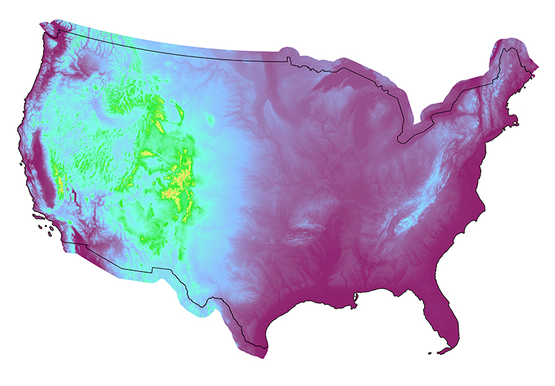
LF 2020 Elevation products, released February 2022, were created using the latest 1 arc-second Digital Elevation Models (DEM) data, part of the USGS 3DEP program. LF 2020 Elevation was then used to calculate LF 2020 Aspect, Slope Degree, and Slope Percent Rise.
LF 2020 Aspect was recalculated to better reflect true north, a correction from earlier LF topographic products.
LF 2020 Update Transportation
Typically, in LF's vegetation and fuels products, vegetation that is covering a road (i.e., tree canopy), is classed as vegetation, not a road. This methodology continues to be in effect for LF 2020 vegetation and fuels product layers to help account for canopy continuity and fire behavior in these areas. Roads were identified using NLCD 2019 Impervious Descriptor. All pixels for Primary and Secondary Roads were used. Tertiary roads were included where there was less than 75% tree canopy cover in NLCD 2016 USFS Tree Canopy Cover for CONUS.
A new addition to LF 2020 is an Operational Roads product layer. In wildland fire situations, it is important to know where all roads are located for access, potential fire lines, and evacuation; therefore, the Operational Roads product consists of all NLCD 2019 impervious surface roads categories (primary, secondary, tertiary, and thinned) for CONUS, Alaska, Hawaii and select Insular Areas, without the tree cover adjustment. This new product is meant to overlay our other product layers for informational purposes when needed.
LF 2020 Update Buffer
LF 2020 data include a 90km buffer into Canada at the northern border of CONUS and into Mexico at the southern border of CONUS, utilizing vegetation type, cover, and height derived from North American Land Classification System (NALCMS) data along with aspect to assign vegetation and fuel product layers in these buffer areas. Although a coarse assessment, it provides a way to model fire ignition and spread across the U.S. border with fire behavior models. Though integrated with the U.S. products within the borders of the U.S., the 90km buffers were created using different processes and input data sets and do not account for disturbances.
In addition to the CONUS 90km buffer, LF 2020 AK also includes a 90km buffer along the eastern border into Canada. Though integrated with the AK products within the borders of the U.S., the LF 2020 AK buffer was created using different processes and input data sets and does not account for disturbances.


