Latest News
This page includes a general description of the product, please consult the schedule and version pages for information specific to each release.
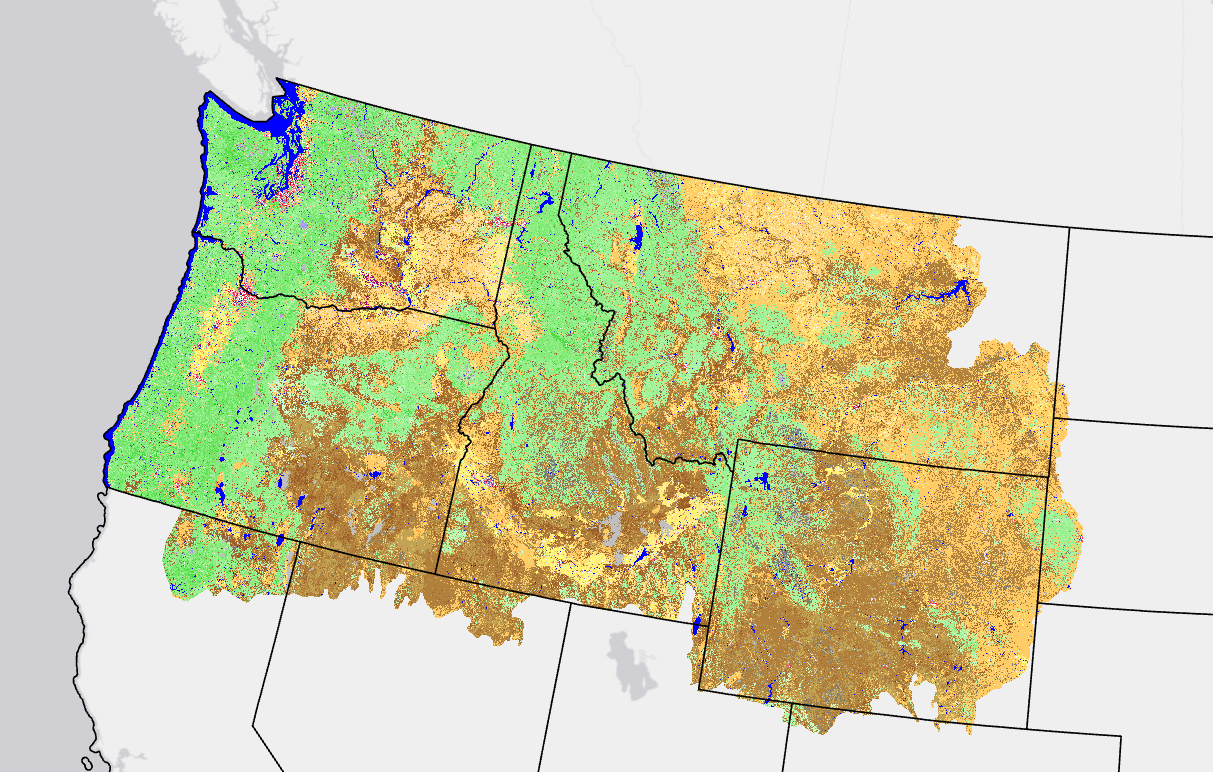
The LANDFIRE (LF) fuels vegetation products describe the elements of fuels vegetation for each LF vegetation production unit. Fuel Vegetation Height (FVH) represents a modified version of Existing Vegetation Height (EVH). LF 2016 Remap EVH is mapped as continuous estimates of canopy height for tree, shrub, and herbaceous lifeforms. To translate continuous EVH values into fuel model assignments, EVH values were binned to correspond with the bins for previous LF versions.
FVH was developed using the full suite of LF vegetation releases and the most recent ten years of disturbance data. FVH more accurately leverages fuel transition assignments related to disturbed areas to properly align with logic developed from Fuels Calibration Workshops.
Beginning with LF 2016 Remap, and beyond, an improvement for fuels products in disturbed areas was implemented. Fuels are now adjusted to expected current year vegetation conditions for disturbances that have occurred between certain select years that vary by the version. Making the fuels products “capable to X year fuels” or “capable fuels”. Beginning with LF 2022, capability is implied in the naming convention.
LF 2016 Remap and beyond includes a 90-kilometer buffer along the 1,500 miles of the eastern and southern borders AK shares with Canada. Then with the LF 2020 update, and future updates, for the Conterminous United States (CONUS) a 90-kilometer buffer into Mexico is also included.
Modeling Dynamic Fuels with an Index System (MoD-FIS)- refined FVH classification based upon current estimates of FVH from Landsat imagery for the current growing season.
LF uses FVH in the development of the fuel products.
Product availability
Attribute Data Dictionary
Comma separated value (CSV) files can be found in the LF Library.
Download DataMetadata: