Latest News
This page includes a general description of the product, please consult the schedule and version pages for information specific to each release.
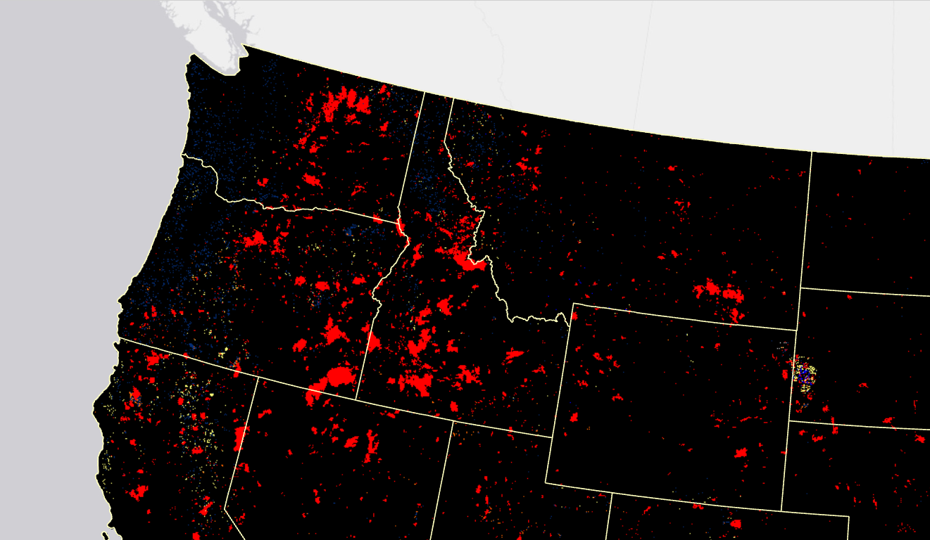
LANDFIRE (LF) disturbance products are developed to provide temporal and spatial information related to landscape change. Fuel Disturbance (FDist) uses the latest 10 years of Annual Disturbance products representing disturbance year and original disturbance code. FDist was a refinement of Vegetation Disturbance (VDist) in LF 1.x products and is a refinement of Historical Disturbance (HDist) in LF 2016 Remap to more accurately represent disturbance scenarios within the fuels environment. FDist development involves a comprehensive review of disturbance attributes.
Beginning with LF 2016 Remap, and beyond, an improvement for fuels products in disturbed areas was implemented. Fuels are now adjusted to expected current year vegetation conditions for disturbances that have occurred between certain select years that vary by the version. Making the fuels products “capable to X year fuels” or “capable fuels”. Beginning with LF 2022, capability is implied in the naming convention.
LF 2016 Remap and beyond includes a 90-kilometer buffer along the 1,500 miles of the eastern and southern borders AK shares with Canada. Then with the LF 2020 update, and future updates, for the Conterminous United States (CONUS) a 90-kilometer buffer into Mexico is also included.
LF uses FDist in the development of Fuels products.
Methods used to mitigate data gaps in LF 2012 and beyond.
Product availability
Attribute Data Dictionary
Comma separated value (CSV) files can be found in the LF Library.
Download DataCurrent Metadata: